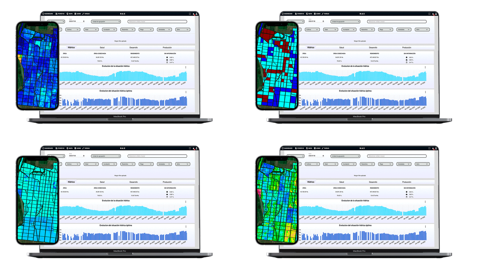
The water information able to evolve your crop
We learn from your crop and model the behavior to offer you the optimal water data for each area.
Organize and plan your work according to the behavior of your crop.

Intelligent water management
1º
Find out which areas are overloaded with water
2º
Optimize your water resources
3º
Produce more by knowing your crop
Detects areas with water potential
Which areas receive less water than they should to maximize production.

We offer you a map to manage deficient areas and bring them to optimal levels.
Tools for water control
Plant water content

Model that indicates the water content in leaf helps us to see the water stress to identify if the crop is being well or poorly irrigated.
Evapotranspiration

The amount of water that returns to the atmosphere from the soil where the crop grows (evaporation) on the one hand and from the transpiration of the crop itself on the other.
Water balance

Direct measurement of water lost or gained by the crop.
Tools for water control

Plant water content
Model that indicates the water content in leaf helps us to see the water stress to identify if the crop is being well or poorly irrigated.

Evapotranspiration
The amount of water that returns to the atmosphere from the soil where the crop grows (evaporation) on the one hand and from the transpiration of the crop itself on the other.

Water balance
Direct measurement of water lost or gained by the crop.
How does the water level influence the production level?
Real cases
southNAX IN FIGURES
METHODOLOGICAL STUDY OF THE RETURN ON INVESTMENT ON 200,000 HA OF LAND.
ACTUAL DATA FOR RELIABILITY TESTING AND MODEL TESTING.
reference form
Do you want to implement it in your crop?
Get started today!
Leave us your details and a member of our team will contact you to give you access to the decision making process.
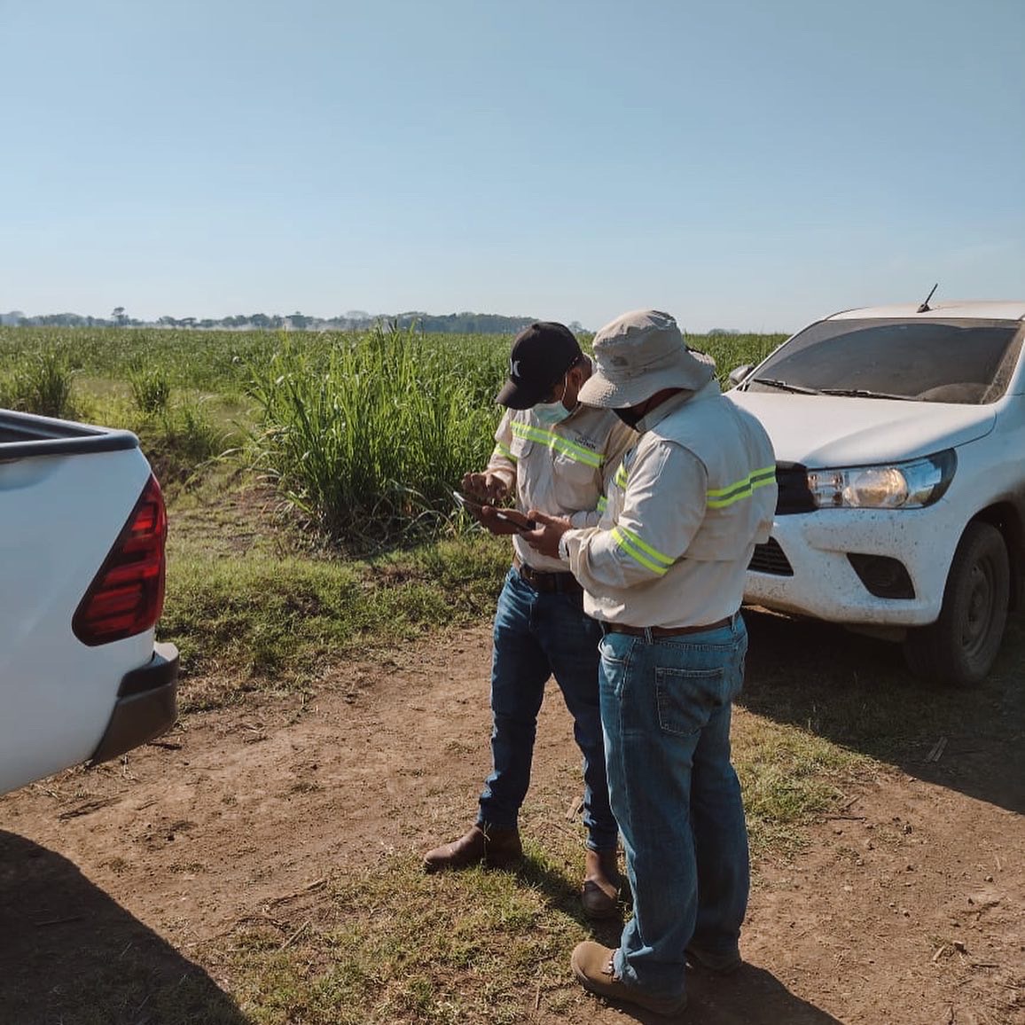
You will be able to start measuring the performance of your crop through Nax's artificial intelligence.
What can you expect?
Water control of each zone with greater accuracy adapted to your crop.
Interpretation of satellite water information for your crop: what is the optimum level for the correct growth of your crop.
It will help you make decisions and save time in the field. in the field.


